Posts

Showing posts with the label uttarakhand

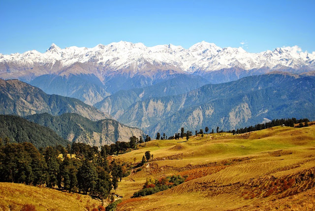
high altitude meadow "Dayara Bugyal"
Image
Dayara Bugyal, in Uttarkashi district, meaning "high altitude meadow" is at an elevation of 3,408 metres (11,181 ft). The beautiful meadows are developed into ski slopes covering an area of 28 square kilometres (11 sq mi). It has also been planned as a skiing resort. It is approached from Uttarkashi, up to village Barsu by road and further 6 kilometres (3.7 mi) by trekking.                                                                          Image Source                             ...

Har Ki Doon, Uttarkashi

Image
Har Ki Doon Valley is a cradle shaped hanging valley in the Garhwal Himalayas. It is surrounded by snow-covered peaks and alpine vegetation. It is connected to Baspa Valley by the Borasu Pass. Har Ki Doon is a very popular place among trekkers. The best way to reach this place is from Mussoorie through Yamuna Bridge, Naugaon, Purola, Saur, Sankri, Taluka and Osla.    Har Ki Doon has bungalows as well as rest houses for trekkers, located at an altitude of 3506 m Image Images